REAL PROJECT / ANONYMISED
From site capture to engineering-ready data.
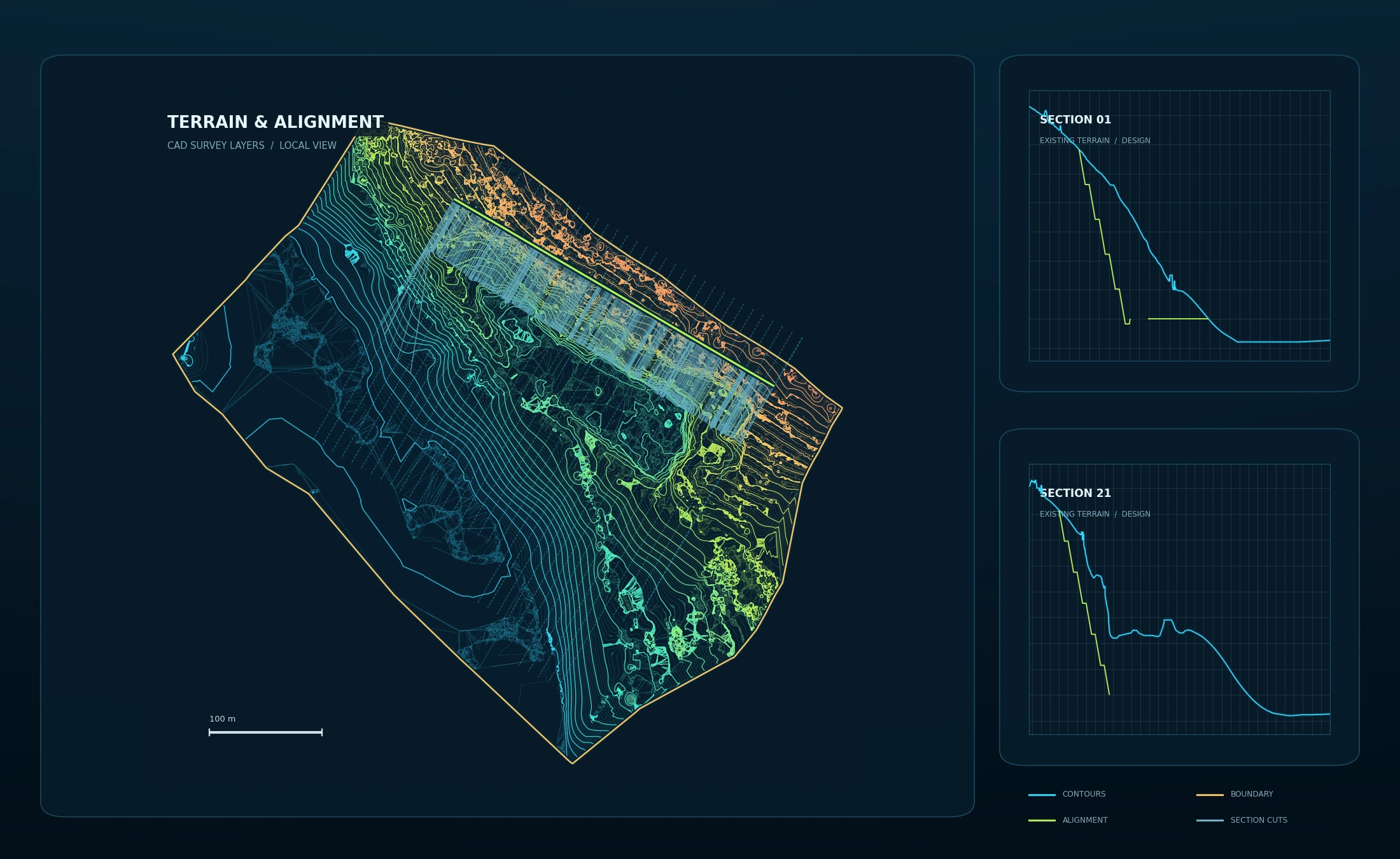
View the quarry survey, measured stockpiles, CAD terrain model and four cross-sections.
OPEN PROJECTS AEROMETRIXGEOSPATIAL INTELLIGENCE

AEROMETRIX · VIDIN · BULGARIA
WE REVEAL THE UNSEEN.
Aerial mapping, 3D modelling, measurable site data and drone thermography for construction, infrastructure and energy projects.
Cross-border enquiries from Romania and Serbia are welcome. Operational, airspace and regulatory requirements are confirmed before quotation.
01 / CHOOSE A PATH
See the service, inspect real project evidence or send the site directly for a technical review.
Mapping, volumes, inspections and technical data.
↗02PROJECTSOrthophotos, CAD models and real cross-sections.
↗03ABOUTA technical partner you can rely on, based in the Vidin region.
↗04SEND A SITEReceive an approach, timeframe and indicative budget.
→View the quarry survey, measured stockpiles, CAD terrain model and four cross-sections.
OPEN PROJECTSNEXT STEP